Landsat Reveals Reservoir Changes and Bathymetry
Communities worldwide rely on reservoirs for drinking water, hydroelectric power, irrigation, and more. These critical freshwater resources are affected by seasonal and long-term changes; water levels in reservoirs can dip during hot summer months or due to prolonged drought, or can flood after a particularly strong storm. Despite their importance, there are key gaps in our knowledge of reservoir structure and dynamics.
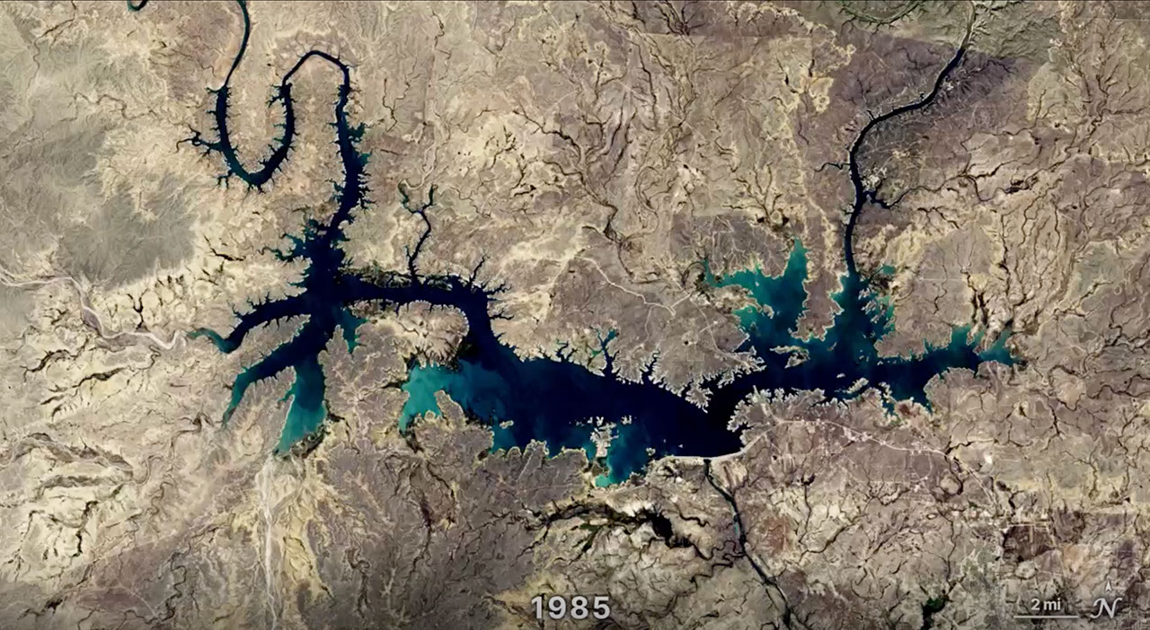
Researchers from the University of Southampton used Landsat data to identify where water advanced or retreated from 1984 to 2022, creating the first global dataset pinpointing the exact year of permanent surface water changes—such as when a reservoir formed or a stream dried up.
To view this video please enable JavaScript, and consider upgrading to a web browser that supports HTML5 video.