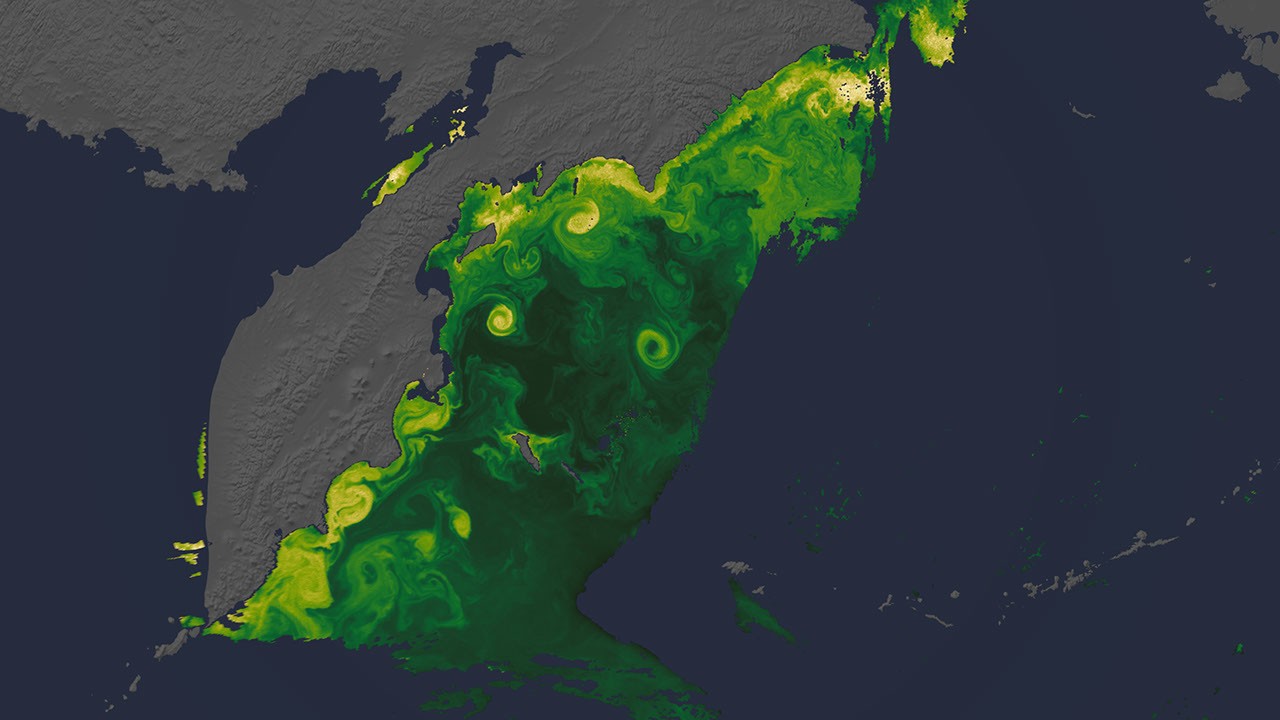
NASA highlighted how the PACE satellite uses hyperspectral ocean-color and polarimetry data to track aerosols, wildfire smoke, harmful algal blooms, phytoplankton, and cloud structure.
PACE is moving beyond imagery into operational environmental intelligence, giving researchers and local managers sharper tools for water quality, air quality, fisheries, and climate-relevant carbon-cycle monitoring.
The examples show how a 2024 Earth-observation mission is being translated into practical products for hazards, oceans, and atmospheric science users.