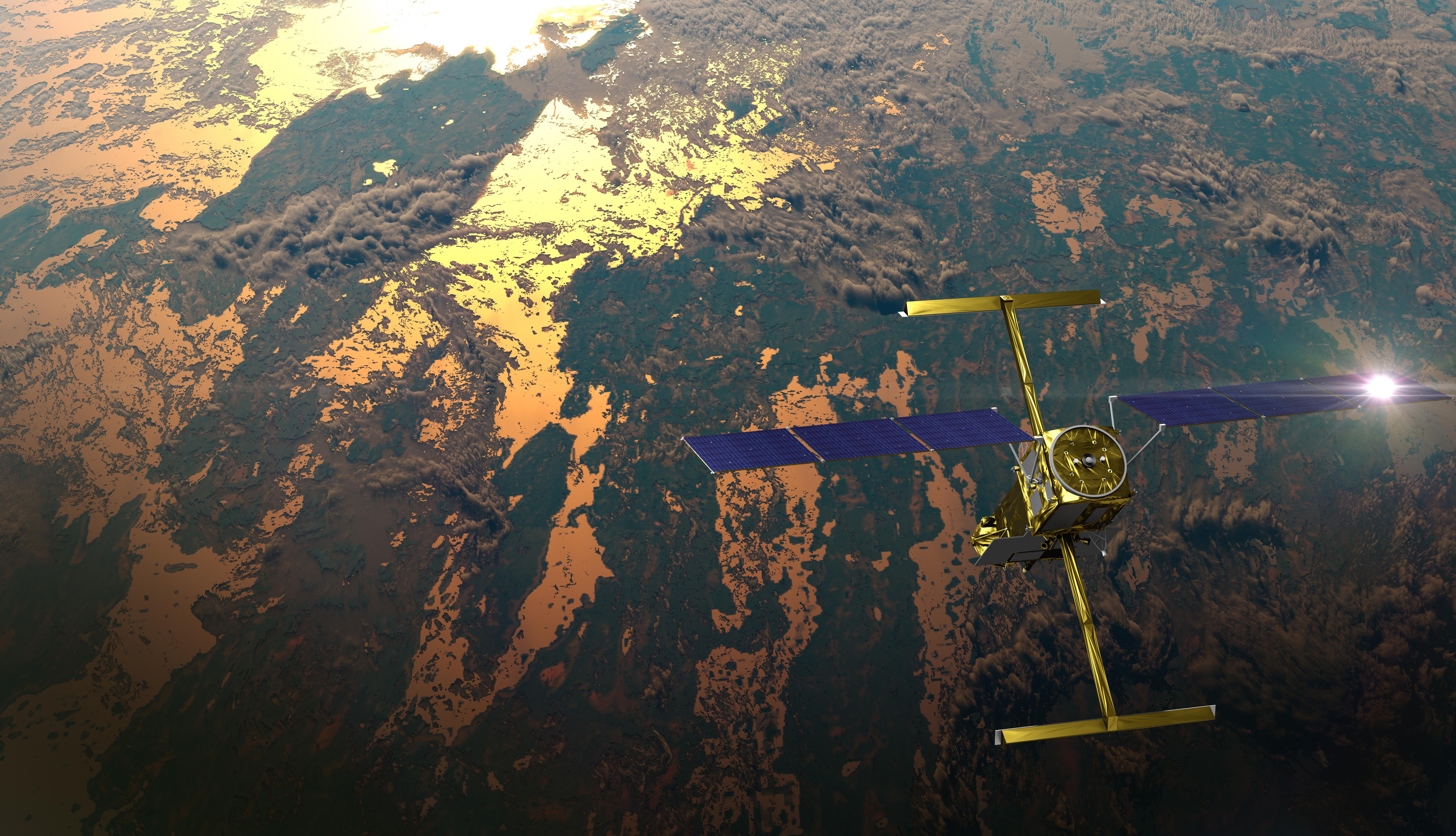
MLI
← Back to News
ScienceMar 4, 2026

NASA-French SWOT satellite maps global river rise-and-fall swings with new precision

Artist concept of SWOT satellite surveying Earth surface waters
Image source: NASA
Story Analysis

NASA published new SWOT mission findings showing how river widths and heights can now be measured together at global scale with higher fidelity. This changes the quality of hydrology baselines and reduces dependence on older model-only estimates in many regions.

For readers, the significance is practical: better water intelligence improves risk planning for floods, drought, and infrastructure systems that depend on river behavior.

Cross-Source Read

SWOT mission data provides updated global measurements of river storage change and channel structure.

Significance + Background (Everyday Reader)

This is a science-data win story for Earth systems: better measurement means better forecasting decisions.

Sources
Mentioned Companies & Entities